Mailahn Farm
Ep. 1 - The Mailahn Family Massacre
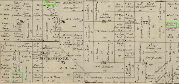
According to an 1889 Plat Map of Black Creek Township (T23N, R17E), the Louis Mailahn farm was 20 acres and located in the northern half of the NW quadrant of the SW quarter of Section 26. On the map his name was incorrectly written as "Louis Weylahn", but a broad search of all of Outagamie County confirm that there was no one by the name of Weylahn, or any spelling variant, in Outagamie County at the time. The closest match was the "van der Wielen" family who did not arrive in Outagamie County from Lithoijen, Netherlands until 1923.
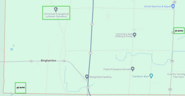
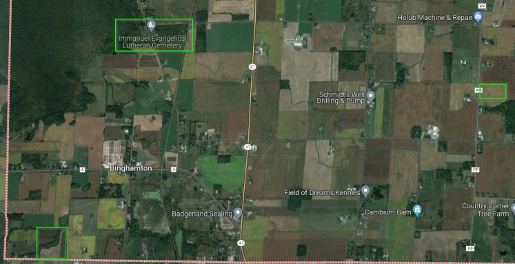
Below you will see a copy of the 1889 Plat map with the Luthern Cemetery, the 20 acre Louis Mailahn farm, and the 40 acres Ludwig Mailahn farm marked for reference. Next are the modern Google maps and Google satellite view of the same area with the same three locations marked for reference.


